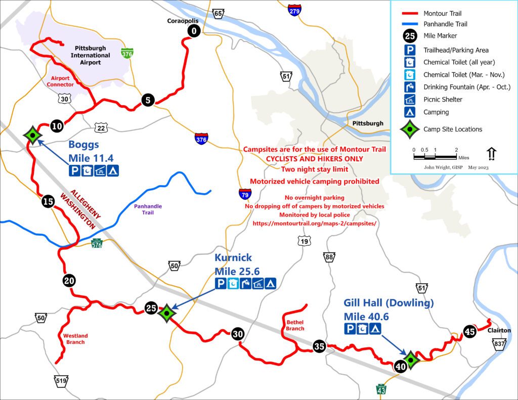
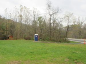
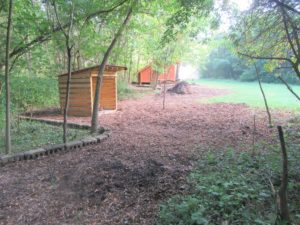
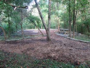
Travelers on the Montour Trail can take advantage of campsites at three areas:
- Near the Boggs trailhead (west of Imperial)
- Along Cecil-Henderson Road (northwest of Hendersonville and Southpointe)
- At Gill Hall Road (in Pleasant Hills)
Each campsite has its GPS coordinates listed below. Consult the Montour Trail map to determine nearby towns and geographical features, such as fishing creeks and tunnels.
Reservations are not necessary, and there is no charge for using the sites. However, campsites are available on a first-come, first-served basis.
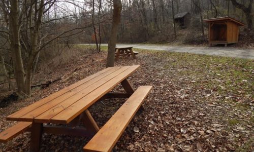
Campsite Rules
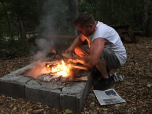 Camping is permitted only in designated areas.
- The campsites are available only for people hiking-through or biking-through on the Montour Trail. You may not camp at any site if you arrive by motor vehicle.
- Car camping is never permitted. Local law enforcement agencies patrol the trailheads/access areas.
- Campers may stay no more than two consecutive nights (48 hours maximum).
- Before leaving the campsite, remove all your trash. Leave the campsite clean and ready for the next user.
- Be sure to completely extinguish all fires before leaving.
- Alcohol is not permitted.
- Loud music and excessive noise are not permitted.
- Campers must also follow Trail rules.
Boggs
~Mile 11.5  40.434501, -80.2908825 • Elevation 1,153
One primitive campsite with a tent platform is available at the Boggs site, near MM 11.5, west of Imperial. The site is for overnight use only and includes:
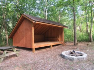
- Wood-platform Adirondak shelter
- Portable toilet (March-November) nearby
- Picnic table, fire ring
- Hammock posts for 3 units
- No water at the site, but fountains available (in season). Like other water facilities on the Trail, the fountain is active when there is no threat of freezing, typically from early April to mid-October:
- near MM 7.6 (McClaren Road-Enlow ballpark parking area)
- MM 13.3 (Mary Lou Harper Pavilion, Outland)
Kurnick
MM 25.5  40.312613, -80.17184 • Elevation 1,058
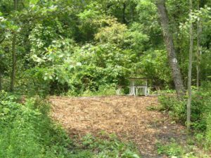
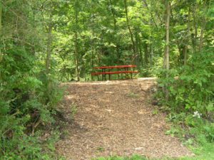
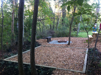
The campsite is located at the Kurnick (Cecil-Henderson Road) access area, around Trail MM 25.5, northwest of Hendersonville and Southpointe. Hikers and bikers passing through the area can use the primitive campsites situated on the southern side of the Trail, 50 to 150 yards south of the drinking fountain.
Campsites are for overnight use only, and include:
- 5 sites
- Water fountain nearby (in season); like other water facilities on the Trail, the fountain is active when there is no threat of freezing, typically from early April to mid-October.
- Portable toilet nearby (March-November)
- Picnic shelter nearby
- Adirondack shelter
- Picnic table and campfire ring at each site
- Mulched wood-chip tent pads
Gill Hall
MM 40.5  40.312521,-80.172383 • Elevation 810
The Gill Hall campsite is located 400 feet west of Gill Hall Road in Pleasant Hills/Jefferson Hills Borough, around MM 40.5. You can find it about 200 feet off the Trail. The campsite is for overnight use only, and includes:
- Adirondack shelter
- Double tent pad
- Fire ring
- Picnic area
- Portable toilet (year-round)
- Firewood storage
- No water at the site, but the nearest water source is at the Clairton trailhead, MP 46.6 (in season). Like other water facilities on the Trail, the fountain is active when there is no threat of freezing, typically from early April to mid-October.
