


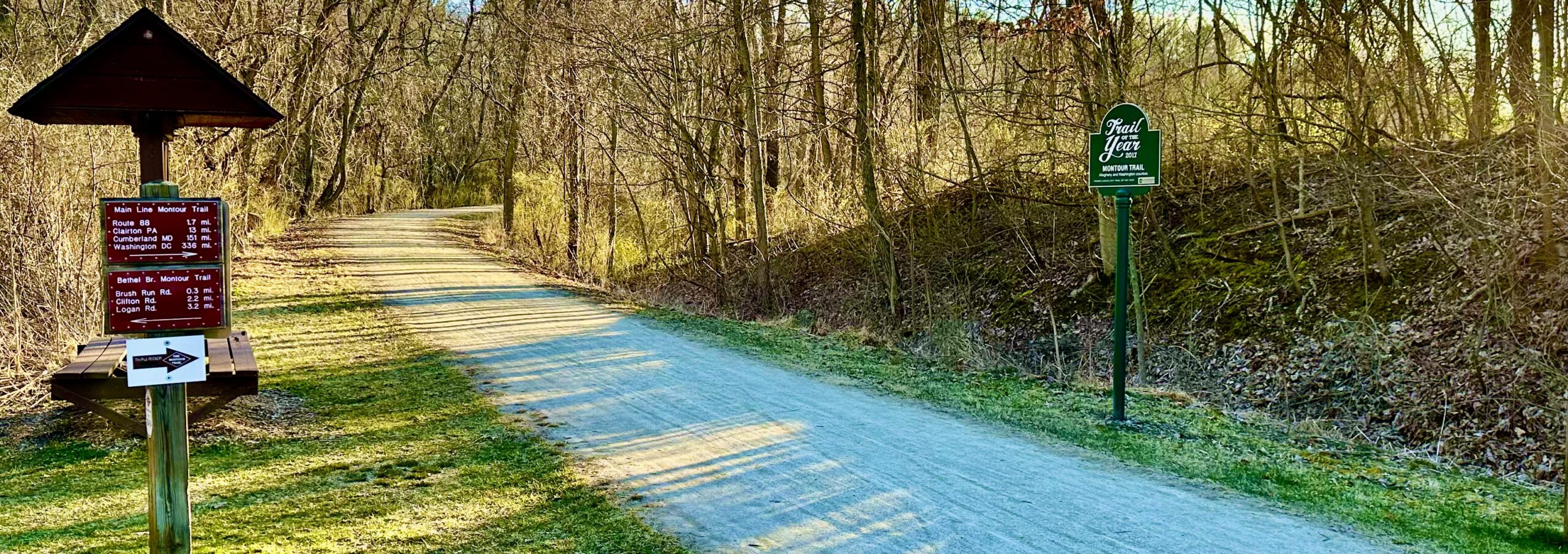
Interactive Map
 For interactive map click here or on the image above. Click on the layer button at the top left to turn layers on and off. Click on the icons for more information about locations, such as campsites, trailheads and amenities. Mile markers are hidden by default.
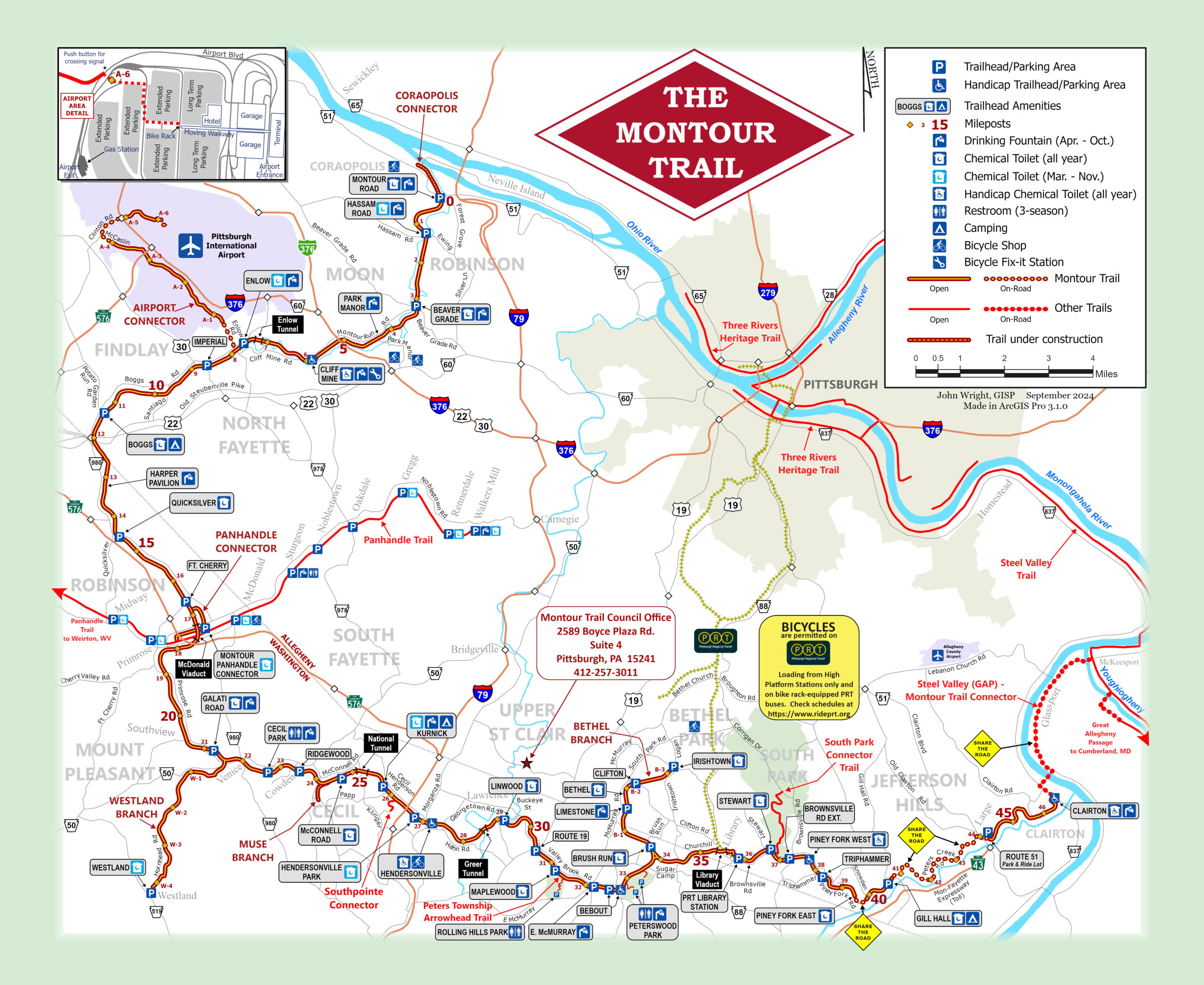
Static Map
 Click on the map for a full-screen view with zoom capabilities.
Click here for a map that you can print out. MTC’s general brochure, which you can find at most trailheads, features this map along with other information to help Trail users find their way.
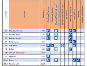
Amenities Chart
There are a number of amenities available at each Montour Trail access area. This chart includes those along with other helpful information, including mile marker, elevation, drinking fountains, picnic shelters and more.
Elevation Map
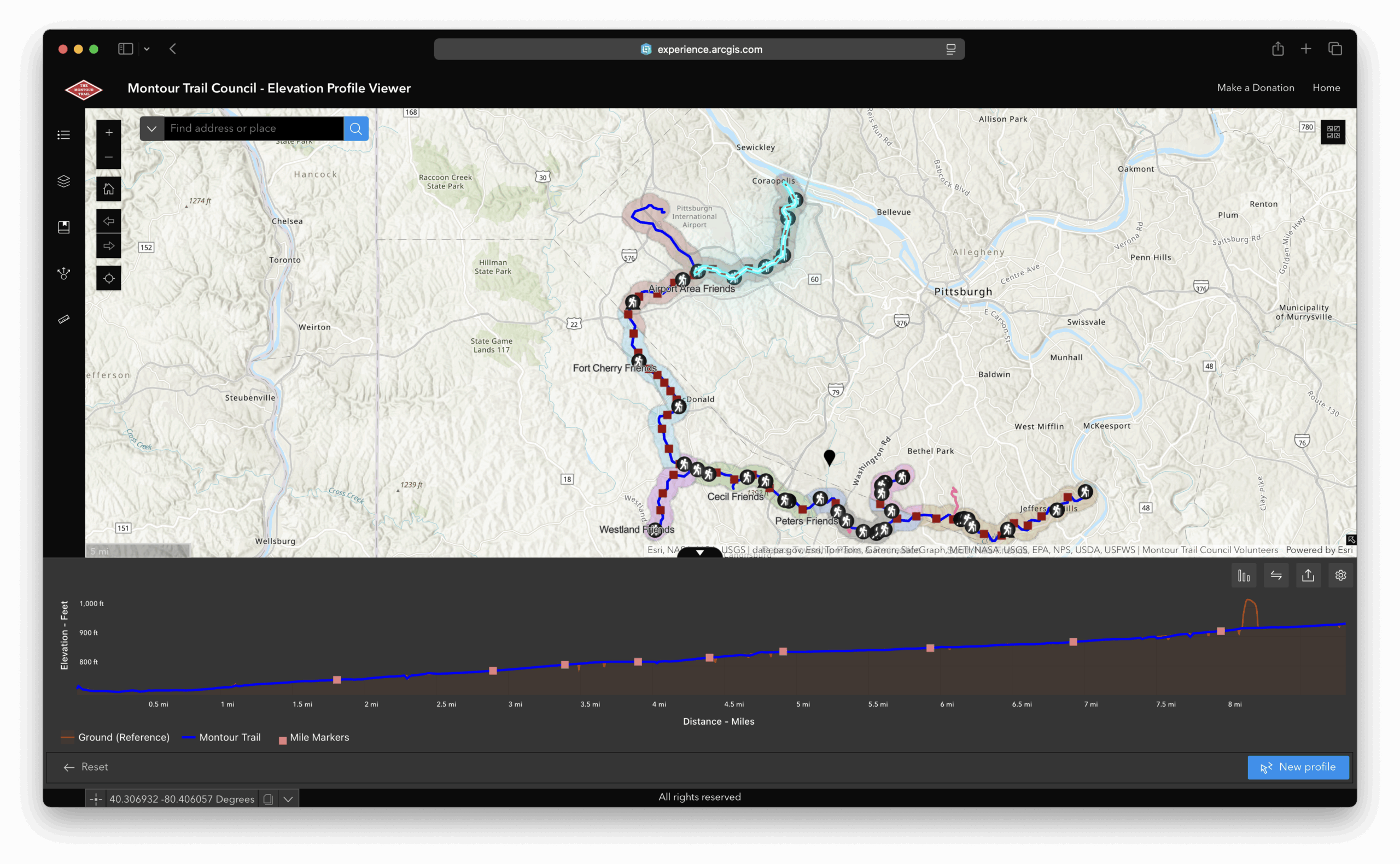
For an interactive elevation map click here or on the image above. Follow the instructions on the splash screen to choose the area that you need an elevation profile for.
Detours & Connectors

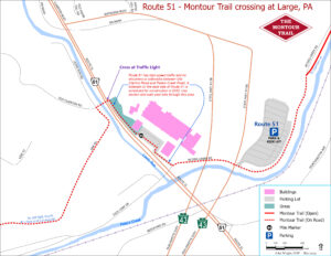
These inset maps are useful for navigating specific sections of the Montour Trail.